關於這個地點
天坑通常發生在有石灰岩基岩的潮濕氣候中,隨著時間的推移,降雨會溶解石灰岩,導致上覆岩石塌陷到空隙中。在乾旱國家,這種情況發生的可能性較小,因為那裡的石灰岩具有抗風化能力。
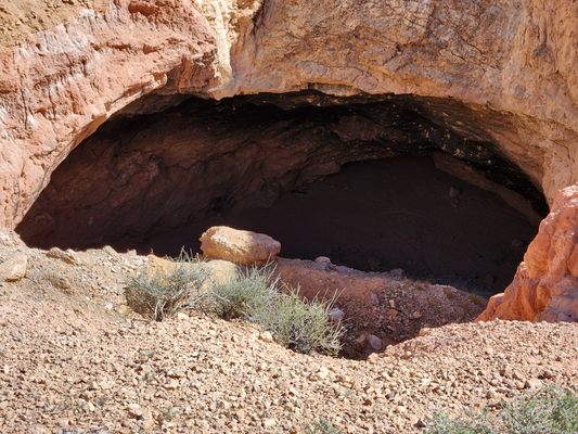
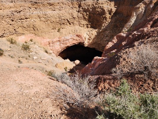
但是,其他岩石會隨著時間的推移而溶解,它們也可能導致天坑。尤其是礦物石膏,可溶於水,常見於一些沉積岩。在適當的條件下,它可以被地下水溶解,形成空隙,然後塌陷。這就是這裡發生的事情。這種壯觀的塌陷特徵也被稱為利特菲爾德或海狸水壩天坑,以附近的村莊命名,它發生在海狸水壩山脈東側的沉積物中。
天坑可能是在地下水流向比弗水壩瓦什(Beaver Dam Wash)時形成的,海狸水壩瓦什是從北部流入的維爾京河的一條支流。該天坑位於盆地沉積物中,已知該地區富含石膏。其他天坑也出現在整個地區,包括以南約 40 英里處的金山國家保護區 (Gold Butte National Monument) 的魔鬼喉嚨 (Devils Throat)。
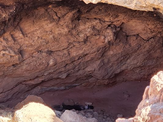
與許多天坑不同,雪鬆口袋天坑的牆壁已部分倒塌,西側已塌陷,形成通往底部的陡坡。這給進入天坑底部帶來了問題;如果嘗試下降,強烈建議使用頂部繩索。
每週透過 Atlas Obscura Places 通訊了解更多不尋常和非凡的地方。
您向我們訂閱的電子報須遵守 Atlas Obscura 的隱私權政策和使用條款。
延伸圖集